|
Bucks Geology GroupBurnham Beeches
Grid reference: SU 953 850 for Burnham Beeches main car park.Ordnance Survey map: Windsor and Reading sheet 175.Geological maps: 1:50,000 series Beaconsfield sheet 255.Bucks County Council administration area: South Bucks.Owned by: City of London.Area of site: ha.
Access, location and parking: From A355 take Beeches Way towards entrance to Burnham Beeches Nature Reserve. Parking available with small fee. Permission is required to enter the small quarry.
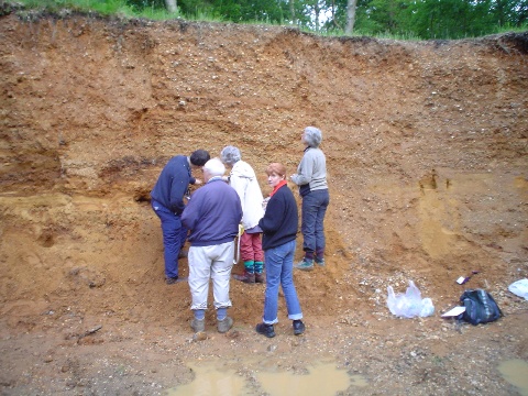
Interest Summary: The geology of the site consists of several Quaternary gravel terraces, which over lie Reading Formation clays. The site is cut by two small stream valleys. The streams disappear into sink holes where Chalk comes close to the valley floors. Streambanks, old clay pits and a small working gravel quarry provide glimpses into the bedrock.
|
| BGG Contact : Mike Palmer (mpalmer@discoverbucksmuseum.org) page last updated: 9th April 2024 |


